Automobili i kamioni
4.187 oglasa
Otvori Automobili i kamioni →4.187 aktivnih oglasa
Automobili4.038
Dijelovi za automobile64
Motocikli i mopedi35
Dijelovi za motocikle3
Kamioni11
Dijelovi za kamione2
Teretna vozila13
Dijelovi za teretna vozila0
Kamperi4
Oprema za automobile7
Oldtajmeri5
Oprema za motocikle0
Oprema za kamione0
Oprema za teretna vozila1
Usluge i trgovine3
Zamjena/tražim1
Nekretnine
484.817 oglasa
Otvori Nekretnine →484.817 aktivnih oglasa
Mašine i alati
325 oglasa
Otvori Mašine i alati →325 aktivnih oglasa
Marketplace
Farma i konji13
Umjetnost i umjetnici62
Antikviteti18
Zdravlje i medicina113
Odjeća i garderoba70
Mobilni telefoni215
Hoteli, putovanja, turizam18.423
Kućni ljubimci i životinje1.947
Za djecu i bebe14
Nautika i avijacija24.221
Računari i elektronika197
Usluge1.308
Knjige i časopisi7
Muzički instrumenti54
Posao2.531
Kuća i bašta412
Sport i fitnes116
Poznanstva12
Audio, video, foto78
Zabava21
Sve ostalo295
Zaboravili ste lozinku?
Nemate račun? Registracija
Top
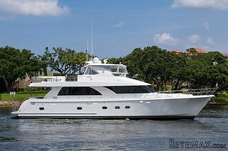 74' Ocean Alexander 74 Open Flybridge..
1.910.500 EUR
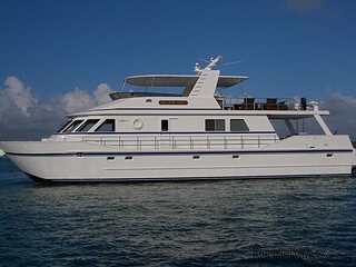 90' Custom Boundless 2009
573.400 EUR
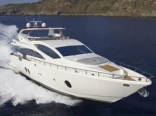 85' Aicon Flybridge 2006
2.659.200 EUR
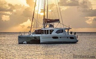 44' Leopard 44 2014
394.700 EUR
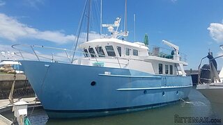 55' Cape Horn Yachts 55 2000
498.600 EUR
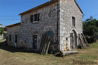 Višnjan, imanje za obnovu s pogledom na mo..
215.000 EUR
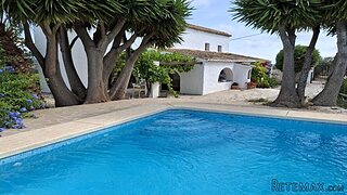
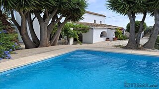
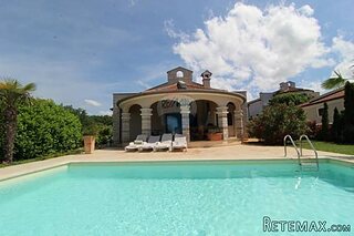 Kuća Žbandaj, 3 spavaće sobe i bazen
275.000 EUR
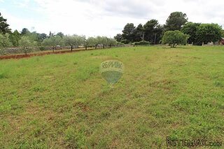 BADERNA okolica-građevinsko zemljište
104.000 EUR
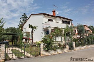 POREČ okolica-obiteljska kuća sa 5 spavačć..
550.000 EUR
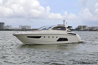 58' Azimut 58 Atlantis 2016
1.225.700 EUR
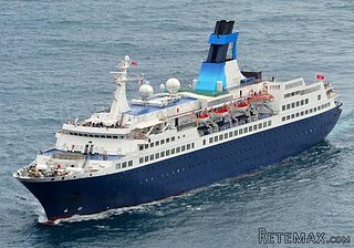 539' Cruise Ship 448 Passengers 1981
11.634.000 EUR
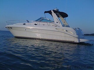 34' Sea Ray 340 Sundancer 2002
69.700 EUR
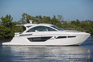 50' Cruisers Yachts cantius 2018
909.900 EUR
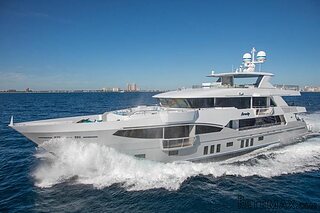 133' IAG Tri-Deck Motor Yacht 2016
12.880.500 EUR
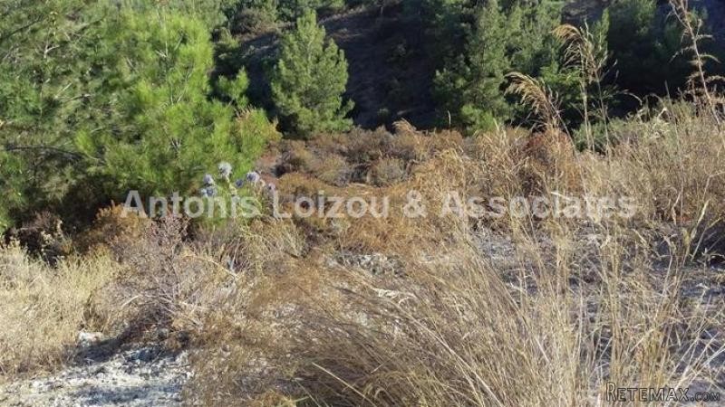
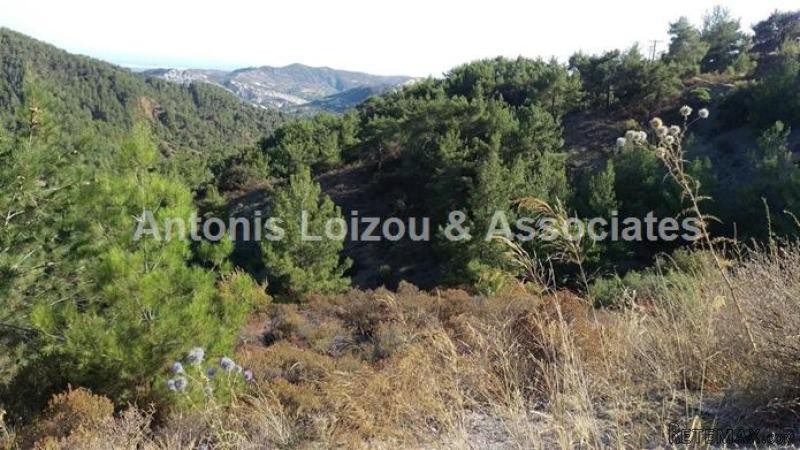
Land For Sale Pano Platres
Lokacija
Bliski istok › Kipar
Datum objave: 01.05.2017 u 11:08
Datum isteka: 17.02.2031 u 11:23
Broj pregleda: 289
ID oglasa 588873
Tehnički podaci
Namjena
Prodaja
Stambena površina
66.891 m²
Opis
LOCATION
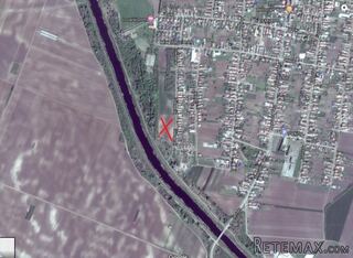
Land situated within the area of Kotsavros in the village of Pano Platres near the local hospital.
DESCRIPTION
It is adjacent to a public road, it has an irregular shape and uneven surface. It falls within three planning zones. At about 60% of its land area falls within the residential planning zone H6, at about 30% falls within protected planning zone Z1 and the rest 10% falls within the protected planning zone Z3.
All measurements given are approximate
Oprema i dodaci +
Kalkulator kredita +
Recenzije +
Recenzije (0)
★ Napišite recenzijuJoš nema recenzija — budite prvi i podijelite svoje iskustvo.
★ Napišite recenziju